GIS Mapping Software
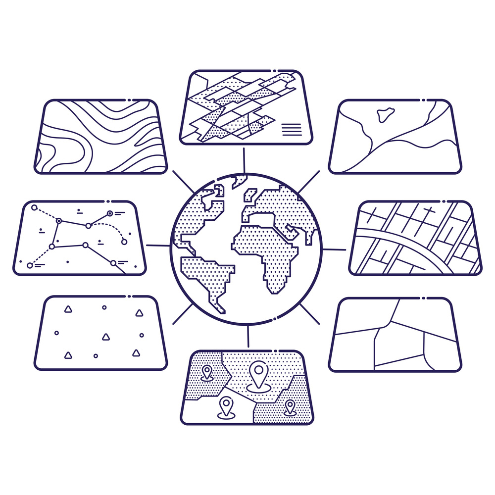
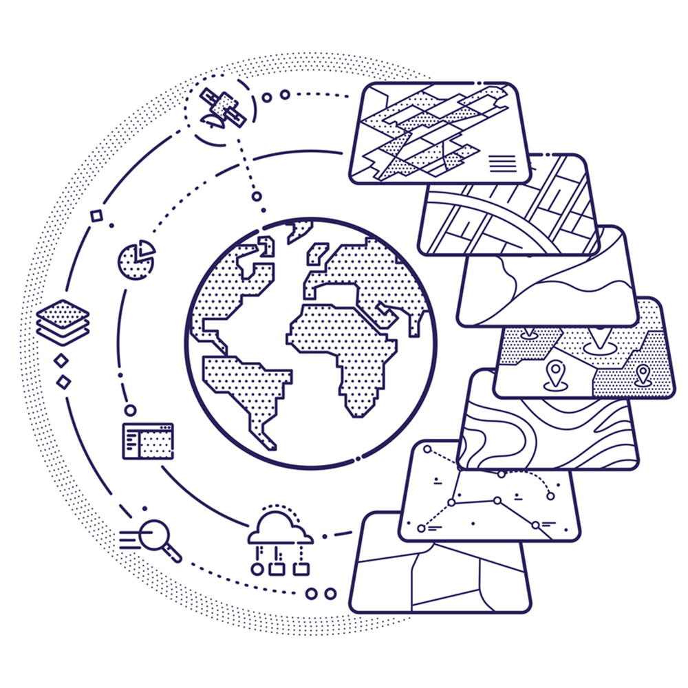
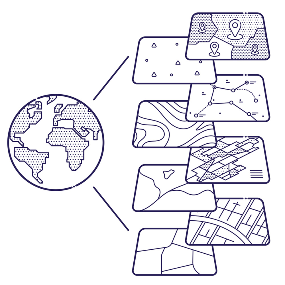
GIS software lets you produce maps and other graphic displays of geographic information for analysis and presentation.

Custom GIS Software Development Services
The process includes the application for soil analysis, adding layers of important data on your map, and generating Geo-Statistical reports. With apt GIS geoprocessing tools, accurate spatial analysis can be done by the users. We provide custom GIS software development and configuration to third-party GIS software. Our tools integrate ESRI’s ArcGIS, Google Maps, Bing Maps, MapDotNet, and MapPro into proprietary GIS mapping systems and platforms. Our GIS experts, software engineers, and solution architects understand the importance of scalability, performance, and open architecture while building Geospatial enterprise solutions that need to grow with your institution and that may need to integrate smoothly with your other existing or future business applications. With specialized teams in the various stages of GIS software development, we walk you through the process making sure to meet your business and technical expectations while putting a lot of emphasis on working closely with your teams and transferring knowledge to them to be able to carry on once we deliver your requirements.
Geoprocessing and Geocoding
Geocoding is the process of assigning a location, usually in the form of coordinate values, to an address by comparing the descriptive location elements in the address to those present in the reference material. Addresses come in many forms, ranging from the common address format of house number followed by the street name and succeeding information to other location descriptions such as postal zone or census tract. In essence, an address includes any type of information that distinguishes a place. Geocode services support a wide range of applications, from business and customer management to shipping and distribution to get directions to where you need to go. Our engineers use geocoding technologies to map addresses, businesses, landmarks, and points of interest into geo-coordinates using popular open-source GIS platforms such as Autodesk’s Civil 3D software. As a best practice, the number of instances must always be greater than or equal to the number of instances available for the Geocoding geoprocessing service. Certain areas of the software user interface and API still use the term geocode service for backward compatibility.
Custom Geospatial Mapping Software
Real-Time Solutions offers web-based GIS maps that allow you to display spatial information in an interactive way. Our GIS maps are built on a state-of-the-art infrastructure that is flexible to accommodate your needs–both to display spatial information and integrate field devices. Get project development for autonomous vehicles, urban planning, franchise location plotting, market share, and more with our GIS mapping applications and software. Geospatial mapping differs from traditional maps in that computerized data is provided for the user to create a custom map suited to their particular needs. Some of these data sets allow the user to create a map on the site, others require that the data be downloaded into a separate software program. Geographical Information Systems (GIS) are software products that can be used to manipulate and analyze this data. The resources listed below are suitable for use by the non-expert. In simple terms, geospatial information is geography and mapping. It is “place-based” or “locational” information. It is data tied to and portrayed on a map.


